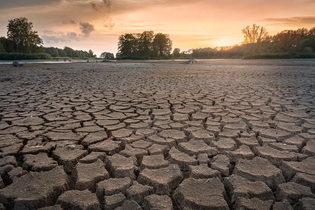
Drought is the prolonged absence of rain in a location that usually receives a significant amount of rainfall. If a desert typically receives only a tiny amount of rain but receives little rain and isn’t experiencing the dreadful conditions of drought,. However, a zone that usually receives more rain than the desert might be experiencing drought when it typically receives more rain than it does currently, even though it is still experiencing more rain than the desert.
A region that is plagued by drought could be transformed into a desert when the drought lasts for a long time. Droughts are the most dangerous natural danger in terms of their impact on the area as well as the loss of livelihoods, social impacts, and other longer-term effects. Droughts could cause widespread famine, destruction of plant life, loss of life, and ultimately deaths or mass movements of whole populations.
Droughts could cause the transformation of productive land into deserts. This process, known as desertification, can occur when the soil has been stressed before or during the drought, usually due to poor agricultural methods, excessive use of surface and groundwater resources, or overpopulation. The global climate experiences a variety of changes that can create arid belts that change with the passage of time.
The Sahel region of Africa has been through some of the most severe droughts in recent years. It is believed that the Middle East and parts of the southwest desert part of the United States are overpopulated, and the natural environment is under stress.
If severe droughts are experienced in these areas, severe famine may result, and the land could be forever converted into a desert. A large portion of the southwest desert region in the United States was settled in the last century, following the era of record-breaking rainfall.
The cities and towns expanded and cities grew, and the Bureau of Land Management diverted water from melting snows, rivers, and underground aquifers in order to meet the demands of cities that were growing.
Many of the country’s largest and most modern cities, such as Phoenix, Tucson, Denver, Las Vegas, Los Angeles, San Diego, and Albuquerque, have sprung up from the desert with the help of the Colorado River system. Although temperatures aren’t always comfortable, however, the air quality is great, and many people are choosing to relocate to these areas to escape overcrowded, polluted, or polluted cities as well as the air elsewhere.
The increase in population has resulted in a rise in the volume of the city’s water supply and fountains, pools, resorts, golf courses, as well as green lawns, have sprouted across. The general consensus is that life can be pleasant. In the last 10 years, the supply of water has been decreasing.
Lake Powell in Arizona has decreased to half its capacity, and it appears that the Colorado River flows shrunk to only a quarter of its normal rates. It is estimated that the Colorado River typically supplies 30 million people with water, and it irrigates 4 million acres of fertile land, producing hundreds of billions in crops.
The vast water systems in seven states of the Southwest were built by using data from the river flow of the Colorado River based on 20th-century flow data. Studies of the ancient historical climate records in the region dating many thousands of years back suggest the 20th century could have been among the wettest recorded for the region.
The Hoover Dam, the California Aqueduct, and cities throughout the region were constructed during the high-flow phase of the Colorado River, and water budgets for the region were calculated as if the flow would continue to increase. Nowadays, the amount of rainfall is declining and historical records indicate that the region frequently experiences droughts, where flows decrease to as much as 80 percent or even 50% of 20th-century levels used to construct the civilization that was built in Southwest deserts.
Today, over 80 percent of the water flowing from the river is being used to drink Such droughts are a major threat to any community and the war on the water in the southwest might soon resurface again. The historical records indicate that previous civilizations like the Anasazi in the region vanished by the end of the thirteenth century in the same drought, and similar patterns are anticipated by climate models for the future of the region.
Climate change models released by the National Ocean and Atmospheric Administration indicate that flow rates of the Colorado River may decrease to 50% of the 20th-century levels at the midpoint of the century. It is also predicted that these lower values of flow will continue to be the norm for the near future. The region is already witnessing rapid changes; wildfires are burning massive areas of vegetation, and occasionally storms trigger mudflows and various desert-related processes.
Climate models suggest a possible downward slide of the region towards dusty conditions; the changes are already beginning. The region experienced numerous mega-droughts throughout medieval times as well as throughout the past and states of the region have to prepare for the possibility of years of drought and worsening drought conditions.


