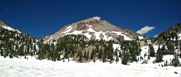
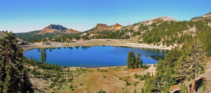
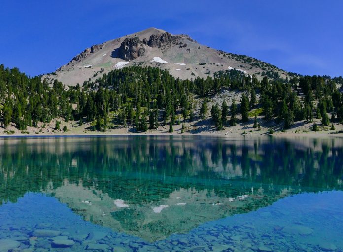
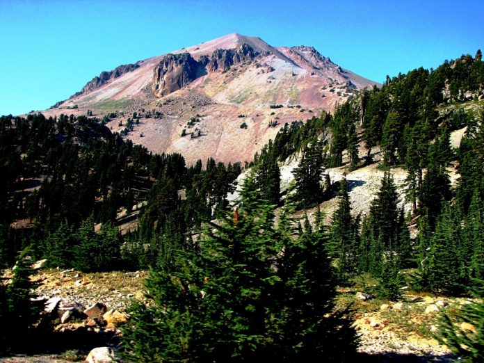
Lassen Volcanic National Park is 45 miles east of Redding, and 48 miles east of Red Bluff. Fissures and fumaroles burble and belch as reminders of Lassen Peak’s dramatic eruption more than a century ago. Four diverse types of volcanoes form part of this park’s fascinating geothermal landscape.
Getting Here and Around
If you are coming from the west or the east, reach the park’s southern entrance via Highway 36E, and turn onto Highway 89 for a short drive to the park. The northwest entrance is reached via Highway 44 from Redding and Susanville. No buses serve the area.
Volcanic Legacy Scenic Byway
This 185-mile scenic drive begins in Chester and loops through the forests, volcanic peaks, hydrothermal springs, and lava fields of Lassen National Forest and Lassen Volcanic National Park, providing an all-day excursion into the dramatic wilderness. From Chester, take Highway 36 west to Highway 89 north, which within the park is called Lassen Volcanic National Park Highway, or Lassen Park Highway.
Upon exiting the park at the north, follow Highway 44 east and then south to Highway 36, on which you can head back west to Chester. Parts of this route are inaccessible in winter and spring. Lassen Peaks is a dormant plug dome, the main focus of Lassen Volcanic National Park, but this 165-square-mile tract of opaque forests and alpine meadows also abounds with unforgettable opportunities for hiking, camping, bird watching, and wildlife photography.
The well-known peak started erupting in May 1914, sending pumice, rock, and snow thundering down the mountain and gas and hot ash billowing into the atmosphere. However, Lassen’s most fabulous outburst occurred in 1915, when it blew a cloud of ash more than six miles high. The resulting mudflow ruined vegetation for miles; the evidence is still visible nowadays, particularly in the devastated area. The volcano finally came to rest in 1921.
These days, fumaroles, mud pots, lakes, and bubbling hot springs create an enthralling but hazardous landscape that can be viewed throughout the park, especially via a hiked descent into Bumpass Hell. Because of its significance as a volcanic landscape, Lassen became a national park in 1916.
Several volcanoes—the largest of which is now Lassen Peak—have been active in the area for roughly 600,000 years. Lassen Park Road (the continuation of Highway 89 within the park) and 150 miles of hiking trails give access to lots of these wonders. In addition, heed signs warning visitors to stay on the trails and railed boardwalks to keep away from falling into boiling water or through thin-crusted areas.
Sulphur Works Thermal Area
Lassen Peak’s volatility becomes obvious shortly after you enter the park at the southwest entrance. Sidewalks skirt boiling springs and sulfur-emitting steam vents. This area is usually the last site to close because of snow. Dining at the Highlands Ranch Resort’s modern roadhouse restaurant is in a stained-wood, high-ceilinged room indoors, or out on the deck, which has breathtaking views of a broad, tranquil meadow and the hillside beyond.
In the middle of the few classy eating options within Lassen Volcanic National Park’s orbit, the eating place serves regional American dishes like blackened ahi with carrot-cucumber slaw and balsamic marinated duck with blackberries and wild mushrooms. This restaurant is famous for striking views inside and out; small plates and burgers in the bar; original sauces and preparations.
Bumpass Hell Trail
Boiling springs, steam vents, and mud pots are the highlights of this 3-mile round-trip Bumpass Hell trail hike. Expect the loop to take just over two hours. During the first mile, there’s a steady climb of 450–500 feet before a steep 350-foot descent to the basin. Here, you’ll come across rocky patches, so wear proper hiking shoes. But, you have to stay on trails and boardwalks near the thermal areas, as what appears to be firm ground may be only a slender crust over scalding mud.
Lassen Peak Hike
Lassen Peak Hike Trail winds two and a half miles to the mountain top. It’s a challenging climb—more than 2,000 feet uphill on a firm, steep grade—but the reward is fantastic views. At the peak, you can see into the rim and view the whole park (and much of California’s far north). Don’t forget to bring sunscreen, water, snacks, a first-aid kit, and, a warm jacket, because it can be windy and cold at the summit.


