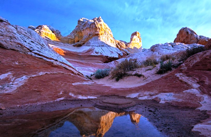
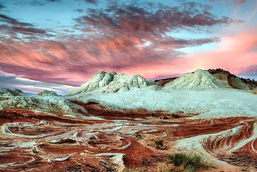
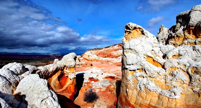
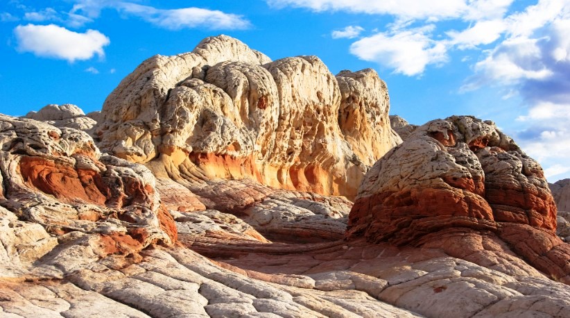
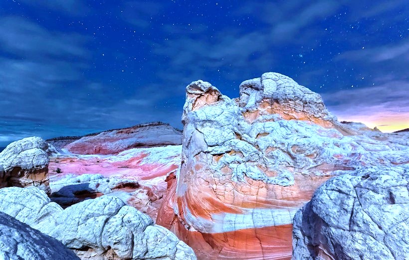
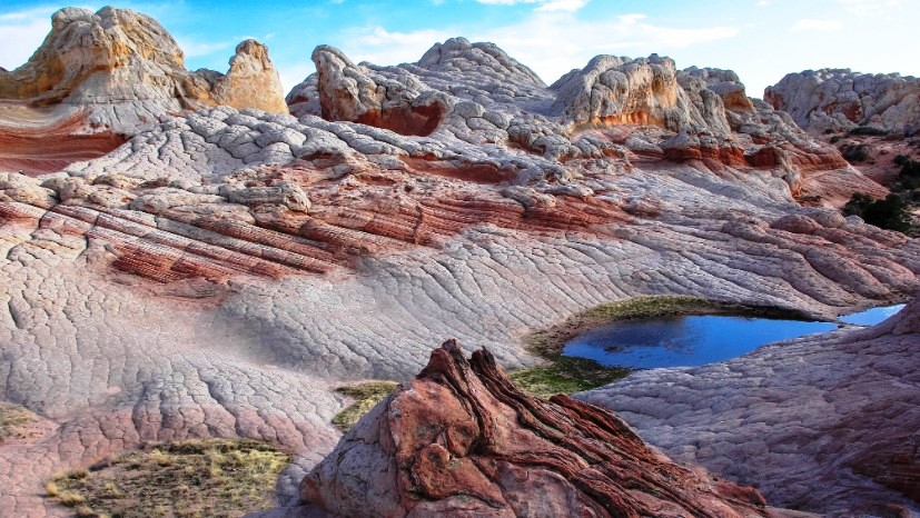
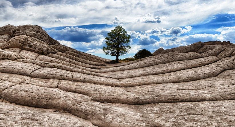
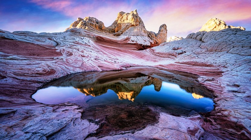
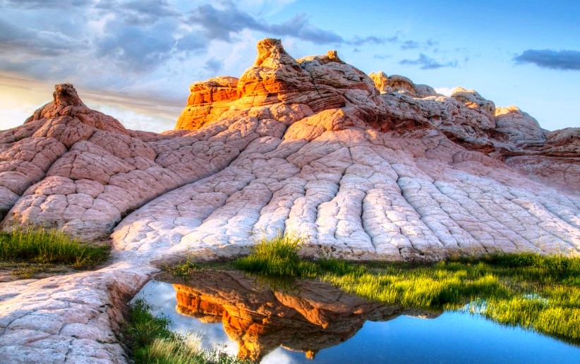
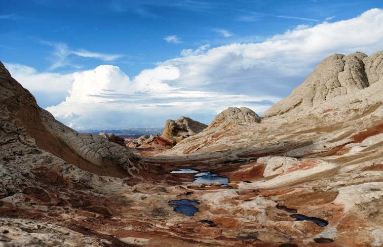
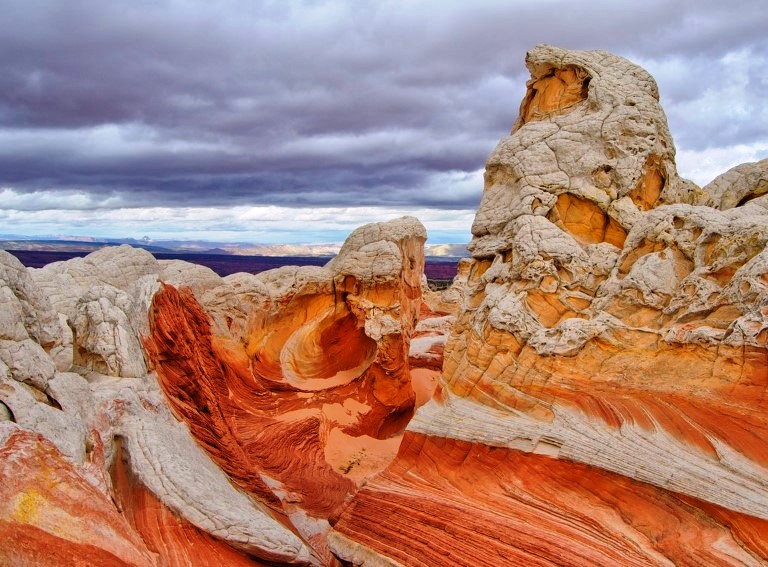
White Pocket is a unique and popular geologic area located in the Vermilion Cliffs National Monument in northern Arizona. It is known for its colorful and textured rock formations, which are made of swirling and intricate patterns of sandstone. The area is comprised of formations of Navajo Sandstone that have been shaped over time by erosion, wind, and water.
The Paria Plateau is a central aspect of the Vermillion Cliffs National Monument and is a remote sandy area spanning 20 miles. The region is bordered by the Paria River and Buckskin Gulch to the north, the Vermillion Cliffs to the east and south, and House Rock Valley to the west. The area consists of both flat and gently sloping terrain, crossed by rough tracks that often require a 4-wheel-drive vehicle due to the long stretches of deep, soft sand.
The plateau is dotted with small outcrops of Navajo sandstone that have been eroded into unique shapes, displaying a variety of colors including white, red, and different hues. The most famous formations are the Coyote Buttes in the northwest corner, which includes the famous Wave, and the White Pocket, located six miles southeast.
The White Pocket is a group of domes and ridges covering one square mile, with swirling, thin-layered strata, adjacent layers of contrasting color, and unique erosive features. There are other colorful pockets located further south and east on the plateau, some with official names, and others that are not widely recognized. These locations have the potential to provide photogenic formations.
White Pocket, like Coyote Buttes, is home to delicate formations that could be damaged by heavy foot traffic, but there is no permit system in place and the number of visitors is unrestricted. Access to the Paria Plateau is mainly through House Rock Valley Road to the west. The road is unpaved but generally accessible for regular vehicles, except after heavy rainfall. The turn-off for White Pocket is located 16.4 miles south of US 89, at Lone Tree Reservoir. From there, a track leads to the site, passing through several challenging, sandy stretches.
Non-4WD visitors can reach White Pocket by hiking 3 miles along the track or 2 miles cross country, or by taking an all-day guided tour, which costs $200 per person in 2019. Alternatively, determined hikers could reach the site through a strenuous 8-mile hike starting directly from House Rock Valley. The roads to Poverty Flat also lead to the Cottonwood Cove region of South Coyote Buttes.
The most accessible formations near the end of the road are located 1,000 feet to the west and consist of a broad, low-lying ridge made of white sandstone. This ridge, which is characterized by various gorges, wave-like formations, and potholes that hold water for extended periods after rain, is situated near the northern edge of a mesa and its white cliffs. To the south, the ridge disintegrates into a series of small domes and formations known as “brain rocks,” which are characterized by their irregular polygonal shapes and deep cracks.
A quarter of a mile further west is a smaller white hill, the White Pocket, which boasts similar features and is centered on a thin ridge that rises up to 450 feet above its surroundings. All of the primary features at both sites can be seen in a couple of hours with a 2 to 3-mile walk, but visitors can spend more time exploring the intricate landscape and searching for the best lighting conditions.
Camping in White Pocket is not allowed within the Vermilion Cliffs National Monument, but there are several campgrounds located near the Monument that offer camping opportunities. The nearest campground is the Coyote Campground, which is about 20 miles from White Pocket. There are also several RV parks and campgrounds in the nearby town of Page, Arizona, which is about an hour’s drive from White Pocket.
It is important to note that visitors to White Pocket should practice Leave No Trace principles and be prepared for the remote and rugged terrain. It is recommended to bring plenty of water, a good map, and a high-clearance vehicle as the roads leading to White Pocket can be rough and challenging.
