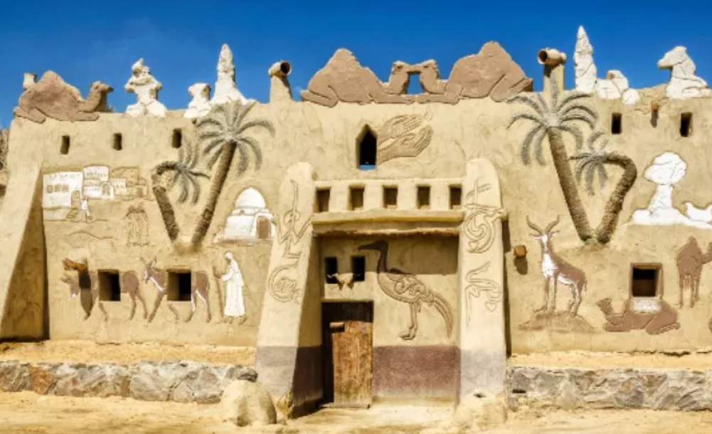
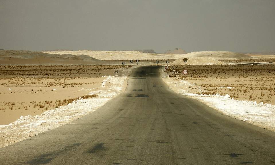
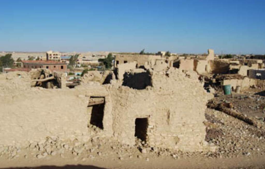
Farafra Oasis is the smallest of the northern Egyptian oases, lying at the center of a depression 10,000 km2 in area. It is mentioned in texts as early as the 5th Dynasty, and its name, “T3-ihw” (Land of the Cows). Farafra Oasis was strategically located for the ancient Egyptians because tribes from farther west might attack it.
Therefore, a similar attack was made by armed Libyans during the reign of Merenptah (19th Dynasty). Libyans followed an ancient road connecting Fezzan in southern Libya with Farafra, which is located at the same latitude, according to the Karnak inscriptions. Due to its proximity to the Mediterranean coast, this route avoided the military posts built by Ramesses II.

Farafra has no Pharaonic remains, and its oldest monuments date back to the Roman period. The tombs are located near Qasr Farafra, in the center of the oasis, at Ain Jallow and Ain Bishoi. Although it is not known when these tombs were built, they were reused by the Copts as well. It was during the first/second/third centuries of the AD that Farafra enjoyed its greatest prosperity, as in other oases of the Western Desert. This led to the oasis becoming increasingly isolated.
There was a major rest stop near Ain el-Wadi at the el-Khadra spring, where caravans were resting as they traveled from Farafra to Asyut. The foundations of an ancient Roman house can be found near the spring. Near the spring, many potsherds can be found on the surface. There have also been a few Roman coins found here. Spring is the best time to visit Wadi Hinnes, which features Roman ruins. In 1819, Frédéric Cailliaud visited the Oasis. The geology of the depression was described and information about the fortress and village of Farafra was recorded. The German geologist-explorer Rohlfs in 1876 and John Gardner Wilkinson, who visited Farafra in 1825, also recorded information.
Rohlfs’s information on the Oasis inhabitants is the most comprehensive of these early travelers. Although Farafra Oasis has been occupied for centuries, little is known about its prehistory. The University of Rome began conducting research in 1987 and continues to do so every year. This fieldwork focuses on determining the type of exploitation of the region in prehistoric times through archaeological surveys. In the Farafra Oasis, intense humidity periods led to the formation of beaches (ponds) and beach fossils during the Holocene.
A moisture phase in the Early Holocene, 9,300–8,800 or 8,600–7,100 BP (uncalibrated radiocarbon dates in years “before present”) has been reconstructed by Fekri A. Hassan. In the late Middle Holocene, there were two moist intervals of 5,900–5,000 BP and 4,800–4,600/4,500 BP. In 1987 and 1991, fieldwork focused on specific areas of the depression, including Qasr Farafra, the Oasis Center, Ain Dalla, and Rajih.

A field study was also conducted in an area about 15km from the oasis center, where campsite remains were found. Abu Kasseb, Ain Kifrein, and Ain e-Raml all have these types of hazards. Between 1987 and 1988, extensive research was conducted on Ain e-Raml. In preparation for excavations, approximately 200 square meters of topography were surveyed.
An area of about 5m2 was excavated for in situ materials. The stratigraphy was thin (not more than 10–15 cm), but hearths were present. A charcoal sample collected from one of these hearths has been dated to 9650±190 BP (years before present, based on a calibrated nuclear carbon date). Flakes and blades are examples of stone tools. As a result of the amount of surface weathering, ceramics can also be found here, but they are difficult to evaluate. Around the small oasis of Ain Dalla, 130km northwest of Qasr Farafra, substantial sites were also discovered. In an area of saline formation (sebkhas), abundant materials were collected on the surface.
It showed peculiarities of specific lithic types and raw materials, a dark brown shiny chert, characteristic of the Farafra region. This area does not contain ceramics. A radiocarbon date of 7000±410 BP has been obtained from an ostrich eggshell sample collected from one of the stone tool concentrations.
An investigation of the Rajih-Bir Murr region was conducted in 1988 and 1989. This site represents an additional prehistoric occupation zone located 80km east of Qasr Farafra. The area is very marginal, being located on the east side of the depression. An Oasis center is located on the other side of the formation of dunes. Siwa Oasis connects Rajih to the caravan route. Through Farafra, the Nile Valley route leads to Asyut.
This site contains thin-walled ceramics with impressed designs, which are not found elsewhere in the Farafra Oasis. A systematic exploration of Bahr Playa/Wadi el-Obeyid was conducted in 1990 and 1991, an unusual and prestigious site located almost at the top of a plateau, Quss Abu Said. To the northwest, this plateau overlooks Qasr Farafra. It is located on one of the pediments of a rectangular plateau called Abu Said, which is surrounded by a steep escarpment made of Farafra limestone. The artifacts were scattered over a distance of 12 kilometers.
It provides an ideal sample for studying occupation continuity during the Holocene due to the presence of numerous artifact concentrations. Stone tool workshops, hearths, and possible hut foundations have been identified in five areas. The majority of the evidence appears to date from the Middle Holocene, when aridity increased generally. There are a variety of stone tools that display skillful blades and flakes (such as small saws, sickle knives, axes, gouges, and drills).
These stone tools, particularly the axes and perforators (drills), are similar to those found in the el-Badari district of Middle Egypt and the Nagada region of Upper Egypt. There are also a lot of grinding stones available. Late Paleolithic hunters and gatherers developed agricultural and pastoral activities in the Farafra Oasis, according to archaeological research. Therefore, archaeological evidence in this area tends to follow the same patterns of development as in other Western Desert oases. The oases may also have transmitted agricultural activities to the Nile Valley.
Read More – Kalahari Desert of Africa


