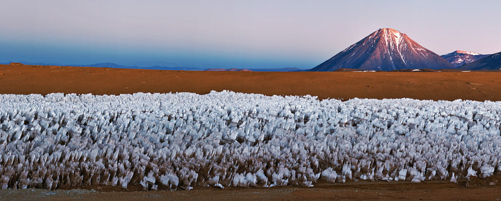
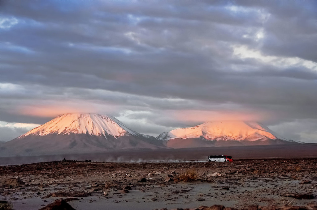
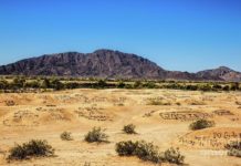
Licancabur is a highly symmetrical stratovolcano on the southernmost part of the border between Chile and Bolivia. But actually, it is situated just southwest of Laguna Verde in Bolivia. The volcano takes over the landscape of the Salar de Atacama area. The lower 2/3 of the northeastern slope of the volcano belongs to Bolivia, 5,400 meters from the foot at 4,360 meters. Though the rest and biggest part, including the higher third of the northeastern slope. The crater and summit belong to Chile.
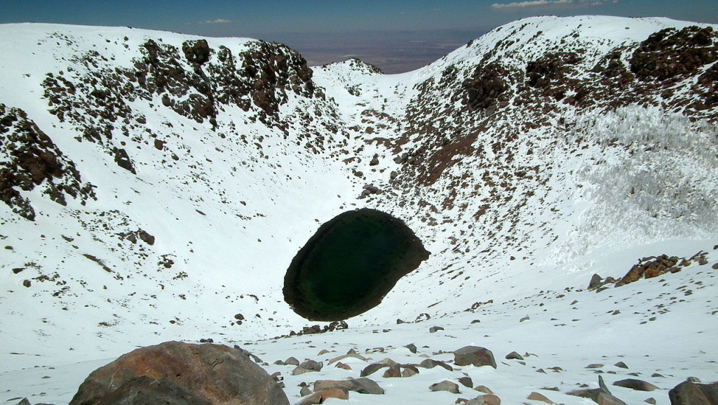
The summit and the crater are located completely in Chile, slightly over one kilometer to the southwest of the international borders. It is about 400 meters wide and covers Licancabur Lake, which is 70 meters by 90 meters Crater Lake is almost ice-covered around the year. This is one of the highest lakes in the world. Despite air temperatures that can drop to -30 °C, it harbors planktonic fauna. The Lake provides an extremely harsh environment, but still, there is life (extremophiles, planktonic fauna).
Licancabur’s most recent volcanic activity formed extensive lava flows. Which spread six kilometers down the northwest and southwest flanks, with older lava flows reaching 15 kilometers and pyroclastic flow deposits as far as 12 kilometers from the peak. The archaeological evidence at the summit offers evidence of pre-Columbian ascents and proposes the importance of crater lakes in Inca culture. This also supports the absence of major eruptions over the past 500 to 1,000 years.
It is believed that Incas may have used the mountain to perform sacrifices and ruins can still be found on the top. Though not the most technically challenging climb in the Andes. The sheer altitude and magnificence of this volcano make it a very advisable climb. Particularly if you’re trying to acclimate to high altitudes. Make sure, when climbing Licancabur, you’ll be sleeping at approx. 14,500′ and climbing more than 19,000′.
The best season to climb is from Dec till March, which is lit bit more wet season. The high altiplano is “high and dry” the sun is intense and the nights can be cold. Hence, it is advisable to put on lots of sunscreens every day and get ready for temps to cross 20’s F for January, colder in the winter.
Also, Read! Dragon Blood Tree
