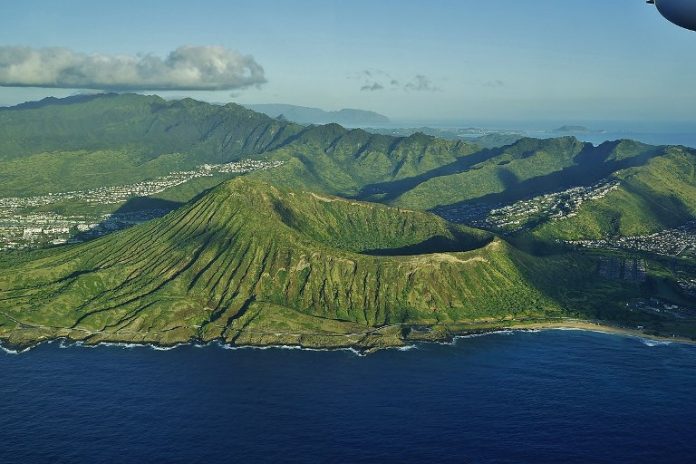
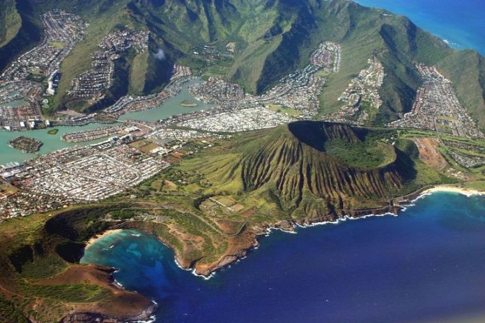
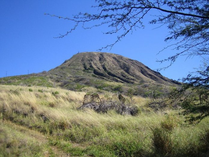
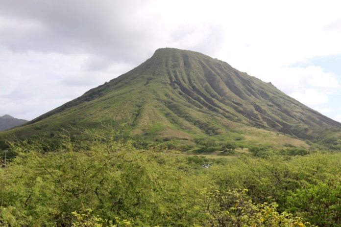
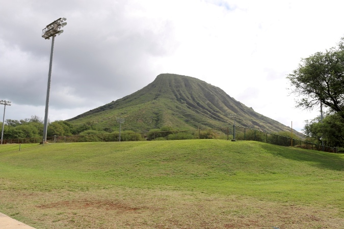
A tuff cone extinct on Oahu’s island of Oahu, near Hawaii Kai, is known as Koko Crater. Hanauma Bay is northeast of it, and south of it is the Koolau Range. In its rejuvenation phase, Koolau Volcano created craters at its vents known as the Honolulu Volcanics. Hanauma Bay and the Diamond Head crater are two other landmarks within the Honolulu Volcanics. Hanauma Bay was formed by lava flows about 40,000 years ago. Probably one of the most recent volcanic vents is Koko Crater, the tallest and best-preserved cinder cone. This area has only seen one volcanic explosion in the last 7,000 years, based on radiocarbon dates.
The Koko Rift Zone on Oahu has been characterized by volcanic activity near Koko Crater, Hanauma Bay, and other nearby tuff cones. In the Koko Rift Zone, radiocarbon dating suggests that the most recent eruption took place more than 7,500 years ago. However, this conclusion cannot be confirmed. The tuff cone reached a height of 1,208 feet, making it the tallest and most intact in the area.
Koko Crater was built during World War II by the US military with bunkers on top and a railroad connecting its summit. Honolulu administered Koko Crater after the air force ceded it to the city in 1966. Koko Head Regional Park is now its official name. The ancient tuff cone of Kokos Head rises 196 meters above the surrounding Koko Crater, whose peak, Kohelepelepe, rises 368 meters above the summit. At the heart of this park lies the Koko Crater Trail, which comprises 1.8 miles of trail that follows the route of an abandoned railroad.
Koko Crater Hike
Koko Crater, which is located near the town of Volcán de la Sierra, is a large tuff (volcanic rock) cone that dominates the surrounding area. Within the crater are horse stables and the Koko Craters Botanical Garden specializing in Cacti and Succulents. The 2.6-km hike to the top of the crater is steep and crowded, but the views from the top are amazing. You’ll be climbing 1048 old military railroad ties to the top of Koko Crater. Your reward will be incredible panoramic views. It’s more difficult than the trail up because the trail is steep, and you don’t want to miss any of the steps.
It usually takes about one hour and fifteen minutes to complete. Hiking is a very popular activity here, so you’ll probably run into other hikers while exploring. The trail is open throughout the year and is beautiful to visit at any time. You’ll need to take your dog(s) home — dogs aren’t permitted on this trail. The steep hike up to the top of Koko Head Crater offers stunning views of the East Honolulu coastline, Hanauma Bay, and parts of Molokai. If you’re doing this during the day, bring plenty of water with you. If you hike during the day, don’t forget to bring a flashlight for when it gets dark.
There are brand new beams as well as old beams on the trail. Therefore, there is plenty of parking in the nearby parking lot it can be an extremely challenging hike because of the elevation gain. For someone who has acrophobia, it is not recommended because there is a steep section where you need to walk up and down. After reaching the top, it will be harder to come back down.
There is a small section without any gravel. Be careful- there is a dangerous sign on the bridge. If you’re very afraid after seeing that board, you can use the Rocky Stairs bypass instead. The stairs were literally straight up and incline and felt like a little monkey climbing up the rails. But with the incredible view, it is totally worth the effort. Don’t be surprised if your legs start shaking involuntarily!
