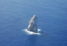
Sibuyan Island is located in the Sibuyan Sea and is like a kidney-shaped island in Philippines. Since its formation, Sibuyan has remained isolated from the rest of the world, leading some local and international scientists to call it “the Galápagos of Asia”.
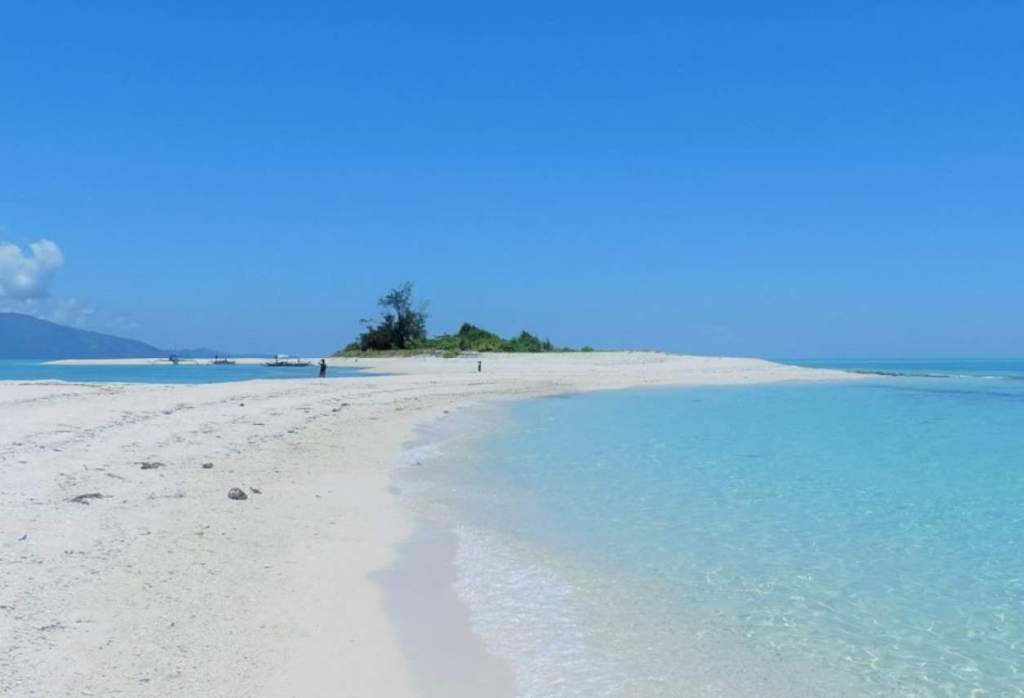
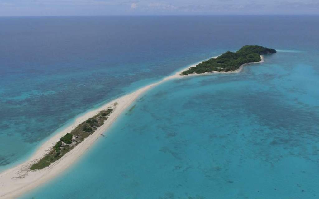
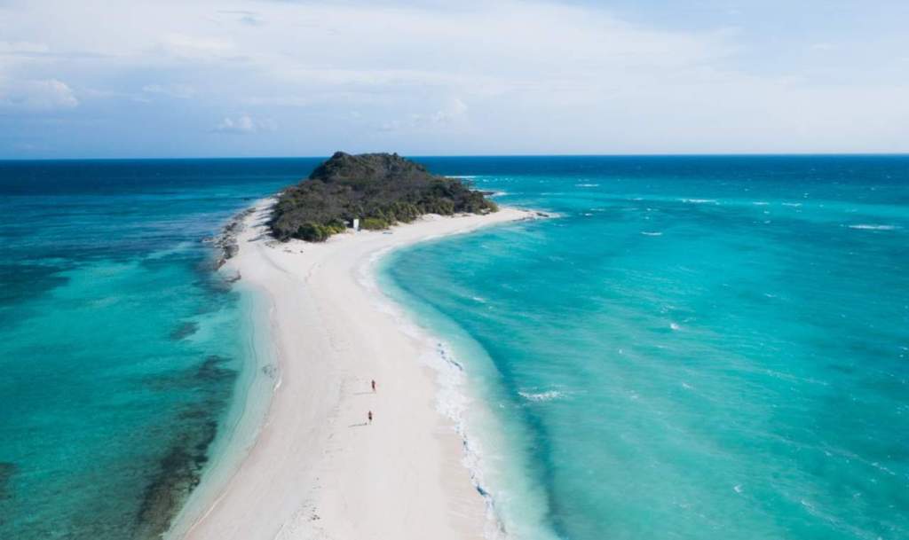
The nearest large islands are Luzon, 102 kilometers to the northeast; Mindoro, 96 kilometers to the northwest; and Panay, 75 kilometers to the south. The nearest small islands to Sibuyan (233 kilometers in total area), both to the west, are Romblon (130 kilometers), 12.5 kilometers away, and Tablas (828 kilometers), 34 kilometers away.
Romblon Province is composed of these three islands and the smaller islets of Carabao Island, just to the south of Tablas; Cresta de Gallo Island, to the southeast of Sibuyan; Banton, Simara, and Maestre de Campo islands, north and west of the north end of Tablas; and Cobrador, Alad, and Lugbon islands, off the northwest coast of Romblon Island.
A Visayan language spoken in the region is Sibuyanon, a dialect of Romblomanon. Sibuyan Island lies between 12°17′ and 12°30′ N and 122°26′ to 122°42′ E. It is a relatively small, kidney-shaped island, measuring at its widest points 24 km north to south and 28 km east to west.
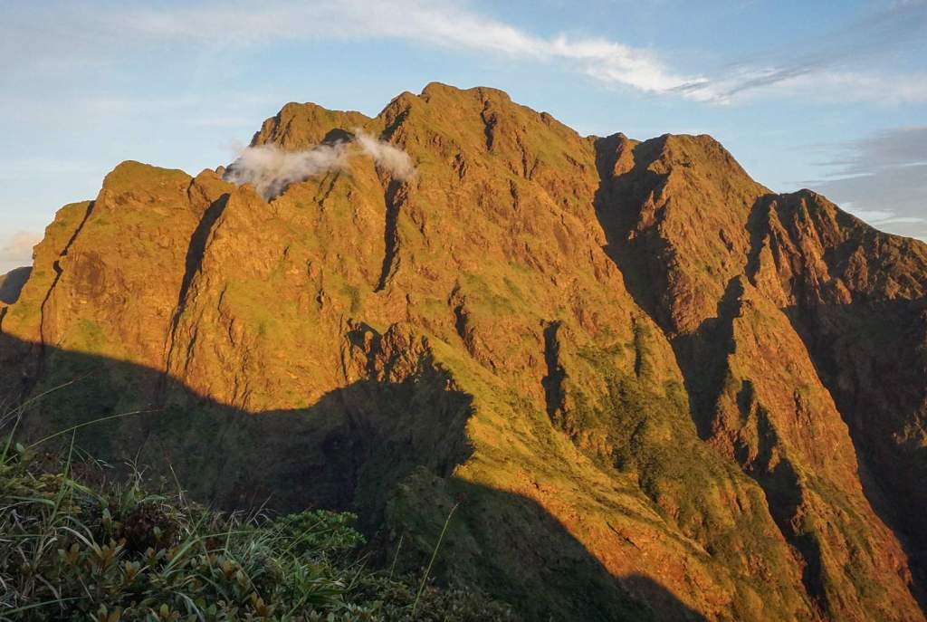
The major topographical feature of the island is Mt. Guiting-Guiting (factually means “the saw-toothed mountain”, in reference to its pointed ridge) the summit of which is 2058 meters above sea level. Along the north-south axis of the island, in about 12 km of ground distance, the elevation changes from sea level to over 2000 meters. The slopes of Mt. Guitinguitin are generally steep and, in a few areas, almost inaccessible to humans. The incredible steep slopes of the island preserve much of its original forest, and the rest is the island that we know today.
The name of the mountain translates from Ilonggo, the principal language spoken in Sibuyan, as “saw-tooth,” which describes the series of precipitous jagged peaks that are so conspicuous from the lowlands. The other prominent peak is Mount Nailog with a height of 789 meters. Approximately 33% of Sibuyan’s land area is covered by primary forests. Lower-altitude forests, however, have mostly been logged or are secondary.
Sibuyan’s climate is characterized by a lack of a distinct dry season. In June and November, the heaviest rains fall, with 288.1 mm on average per month during the typhoon season. During this period, 18.3 rainy days are expected per month on average (range, 16-21). The driest months of the year are March and April, when 40 to 60 millimeters of rain fall per month. Throughout the year, the average temperature fluctuates. The extremes are in May when the average daily maximum temperature is 32.7°C and the minimum is 25.6°C, and in January, when the average daily maximum temperature is 28.6°C and the minimum is 23.5°C.
Further, the island has two distinct wind patterns: from January to May and November to December, the winds are from the northeast, with a maximum average speed of 6 km per hour; during the rest of the year, the winds tend to be from the southwest, with a maximum average speed of 5 to 6 km per hour. Forest types include dipterocarp forests (between 200 and 900 meters) and mangroves, as well as mossy forest, heathland, and montane grassland around peaks.
The first known settlement on the island was founded in the early portion of the 17th century by religious missionaries. No group of forest-dwelling people is known to have inhabited the island, although it was reported that a group of “semiwild” people known as the Manguianes inhabited the mountains of the interior. The most recent population census is from 2020, estimated to be a little under 62,915 individuals.
The human population of Magdiwang Municipality, the principal area was 19,673, representing a population density of 170 persons per km. The total population of Magdiwang Municipality was 20,405, an increase of about 8%. This influx of migrants is mostly from neighboring islands, particularly Masbate, and is expected to increase over the next 15 years.
The ecosystems of Sibuyan Island are said to be among the most unspoiled in the world and in the Philippines. Several smaller rivers and rivulets on the island, as well as the Cantingas River, have been tested and were found to have the best water quality for human consumption worldwide. Drinking water for the Sibuyan Island comes directly from rivers, springs, and holes drilled at the slopes of mountains or on the ground. A barangay of San Fernando endorsed mining projects in Sibuyan in 2005. The area was explored in 1972, but no jobs have been created yet.
Read More – The Banaue Rice Terraces of Philippines
