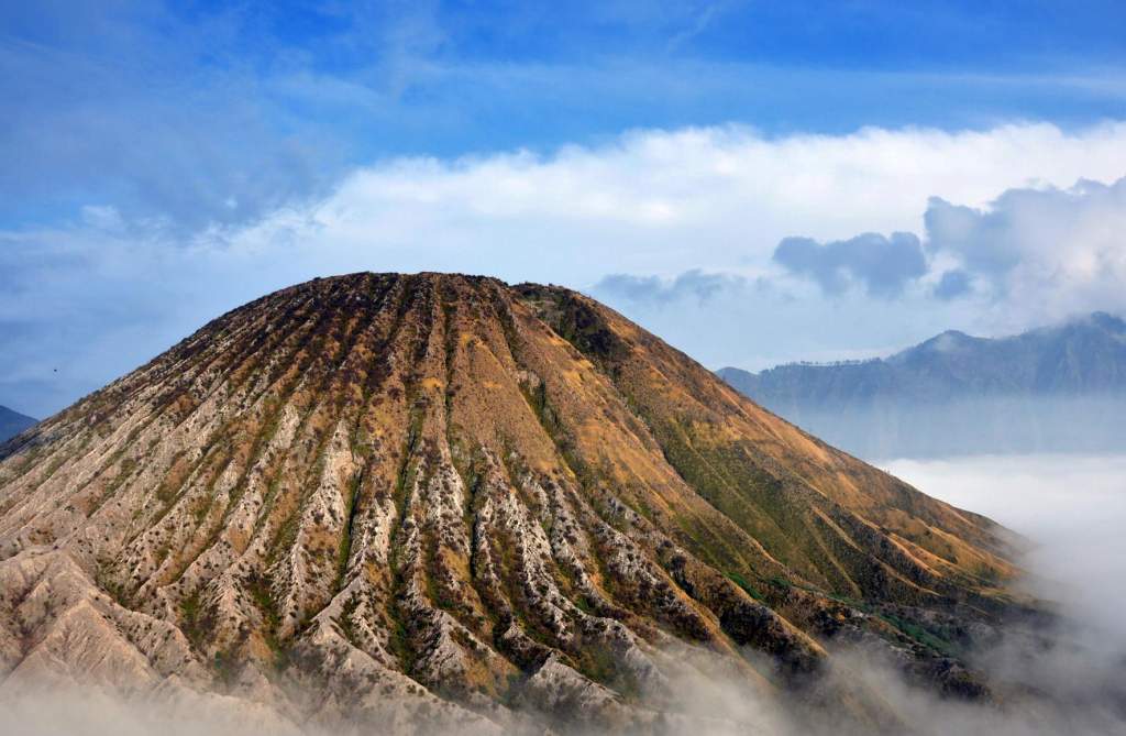
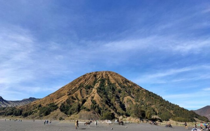
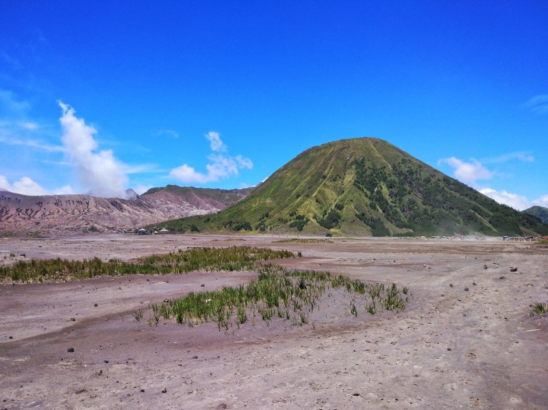
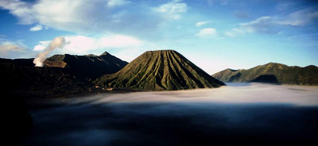
A volcanic cinder cone named “Mount Batok” is situated in the west of the famous Mount Bromo in East Java, Indonesia.
Batok signifies “coconut shell” in Javanese, while ‘batuk’ in Malaysian means “cough“. Mount Batok, which is located between the four regencies of Probolinggo, Pasuruan, Lumajang, and Malang, is 2,440 meters (8,005 feet) above sea level.
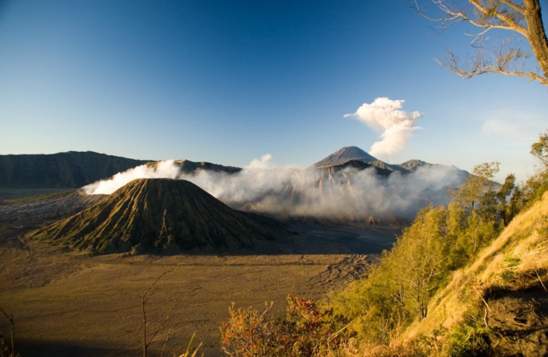
Mount Batok resembles a prehistoric, precisely conical, and crenelated volcano, just as you would expect one might. One of the dormant volcanoes in the Tengger caldera is this peak. The Bromo Tengger Semeru National Park includes Mount Batok. Because of its prominence of 340 meters (1,115 feet) within the caldera and its location in front of the more level Bromo crater when viewed from the most well-known views along the northern rim, Mount Batok is frequently mistaken for the nearby Mount Bromo.
Most tourists just use it as a backdrop for their photos and pass it by on their way to the much more accessible and immensely popular Mount Bromo. Moreover, if you like to go hiking, then it takes two to three hours to complete the short, 340-meter walk up this extinct volcano, but the breathtaking birds-eye vista of Bromo and the Tengger Sea of Sand makes it worthwhile.
The historical inhabitants of Tenggerese think that Mount Batok was created from a coconut shell that Resi Bima, a strong giant, kicked because it did not meet Rara Anteng’s requirements for marriage. Mount Batok suffers from the reverse Goldilocks syndrome: it is too simple to pique the attention of ardent hikers and too difficult to pique the interest of novices and casual tourists. Mount Batok was rated as intermediate by hikers. Despite being brief, it is technically challenging since you have to pay attention to the terrain to determine the best path forward.
The trail is well-marked and in fair condition. Take a look at the mountain; it is pretty delicate and steep. Avoid trying it in the rain! Climbing Mount Batok, a mountain of fine volcanic ash, is similar to climbing a dune in that the dust will give way beneath your feet and you will be left with only the fragile dried grasses that feel like they will break in your hands. Therefore, an excellent route for experienced hikers. It is a short, steep route with some overgrown areas and paths that have fallen away but are generally easy to follow.


Read More: Ranu Kumbolo Lake Indonesia
Reference Article: Wikipedia

